Early Warning
Community-Based Landslide Early Warning Systems
Designed low-cost, low-tech landslide warning models for vulnerable mountain communities.
Improved lead-time and local preparedness in high-risk settlements.
Research Projects
Action-oriented projects connecting geoscience, community preparedness, and risk governance.
Early Warning
Designed low-cost, low-tech landslide warning models for vulnerable mountain communities.
Improved lead-time and local preparedness in high-risk settlements.

Flood Risk
Research and implementation support on flood dynamics, exposure mapping, and resilience pathways.
Actionable risk evidence for local planning and adaptation investment.

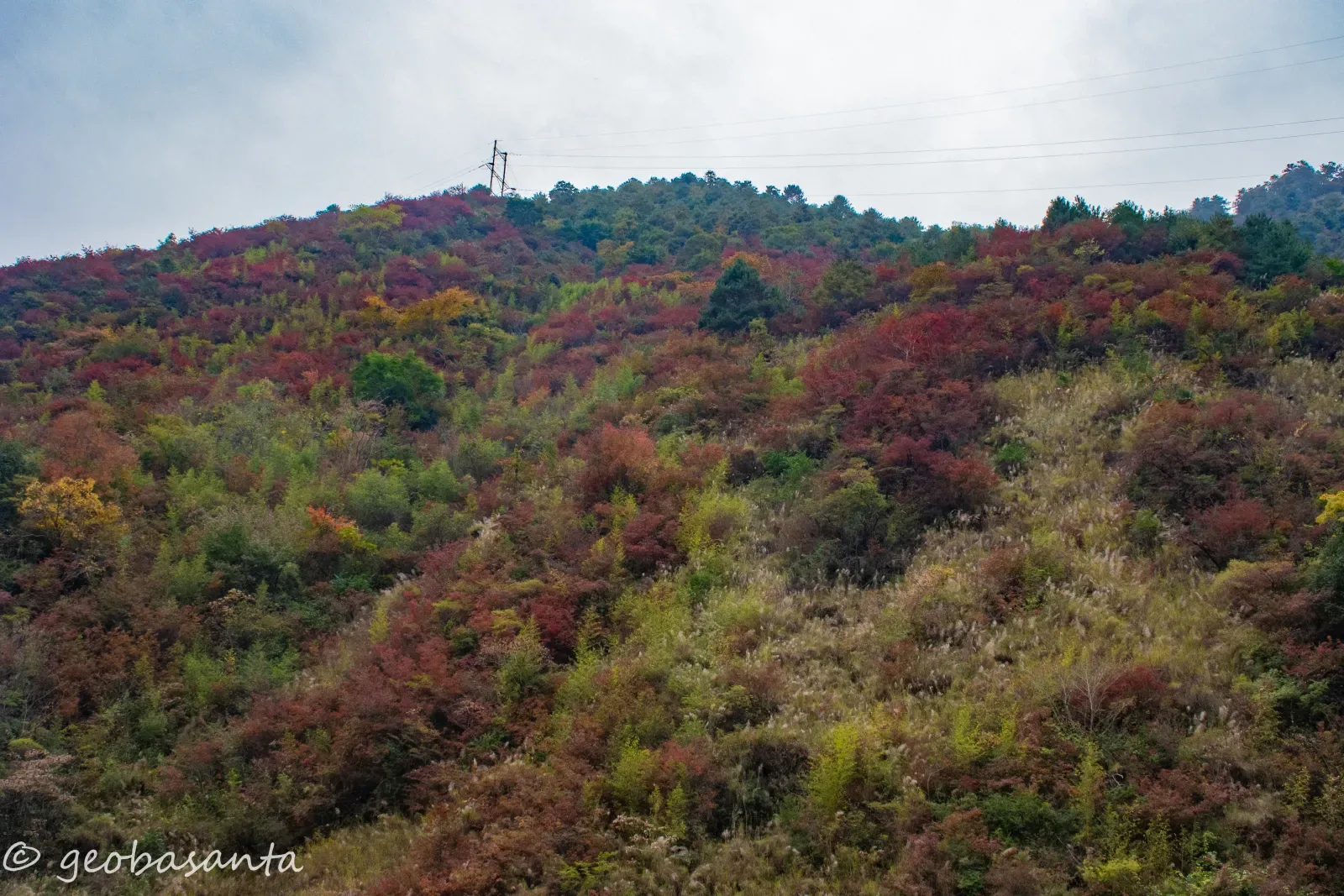
Climate & Geohazards
Integrated climate and geomorphological assessments for mountain hazard understanding.
Stronger scientific basis for CCA-DRR integration.
Advisory
Technical reports and field investigations for reconstruction, slope stabilization, and risk reduction.
Evidence-led policy and infrastructure decision support.

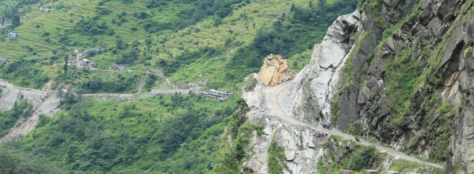
Field Assessment
Field-based terrain interpretation and geohazard observation across Mustang mountain corridors.
Supported practical understanding of slope behavior and exposure in high-mountain settlements.
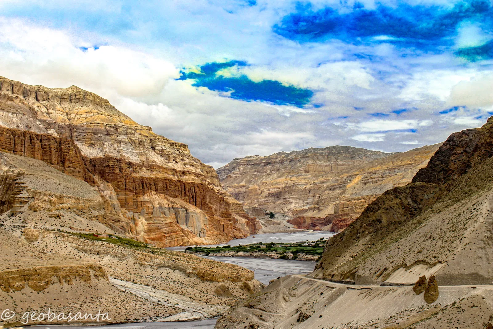
River Corridor Risk
Visual and spatial documentation of river corridor morphology and nearby settlement exposure.
Contributed evidence for local risk communication and resilient corridor planning.
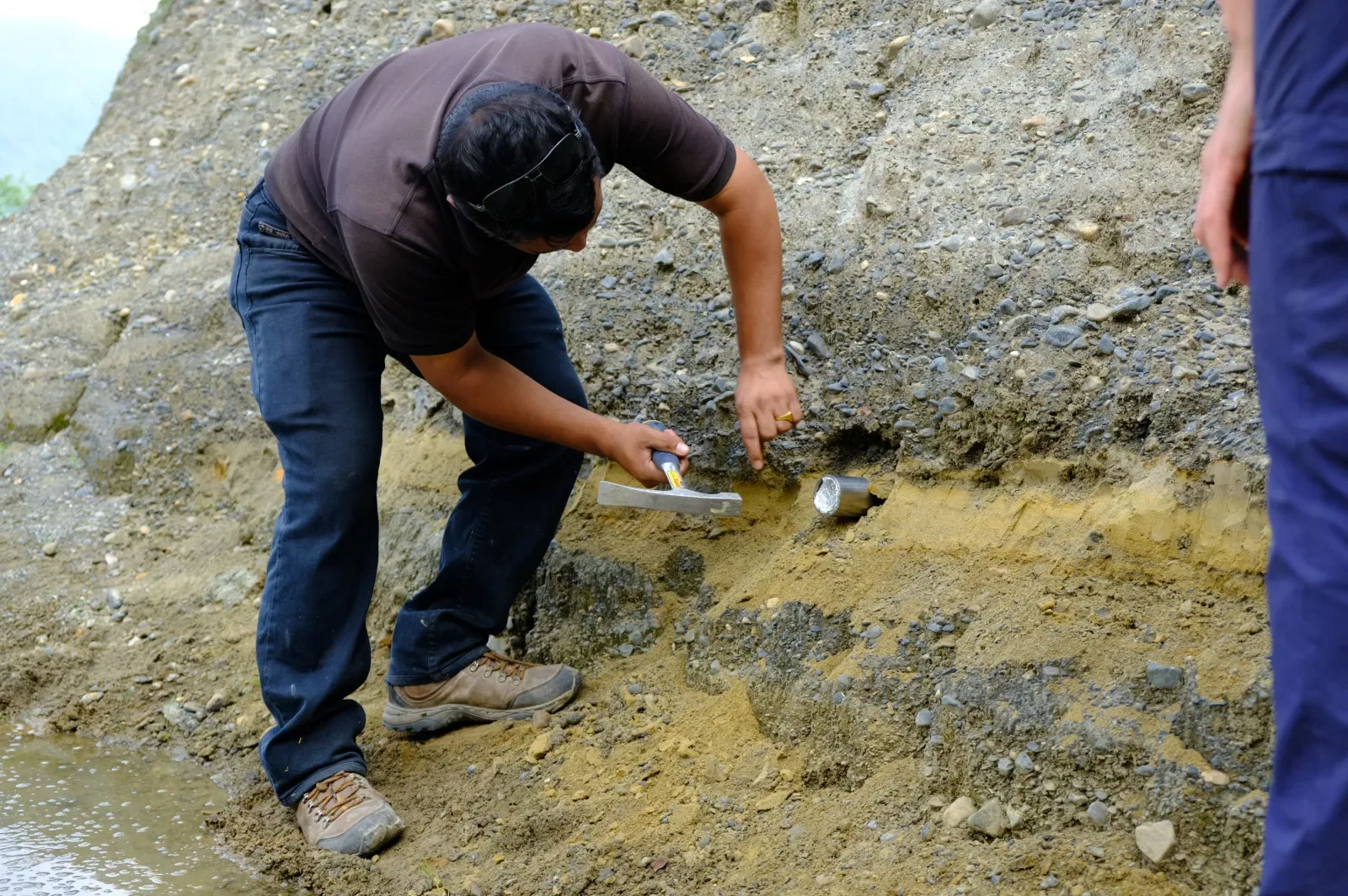
Research Methods
Applied field sampling support for luminescence-oriented sediment and landscape interpretation work.
Strengthened long-term evidence pipelines for hazard and environmental studies.
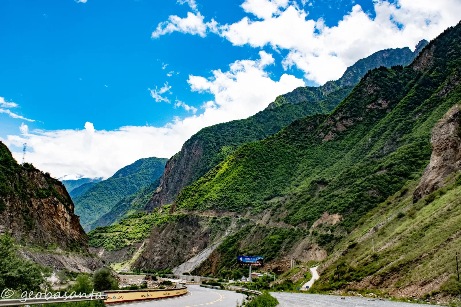
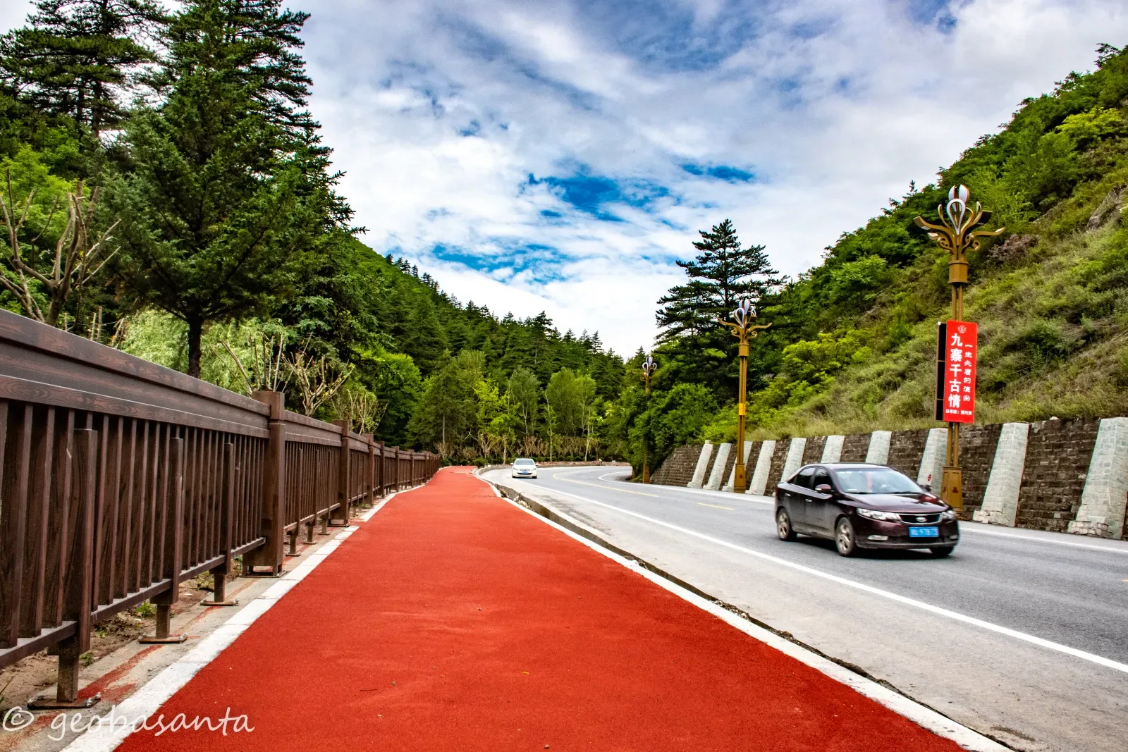
Infrastructure Resilience
Roadway-focused field review of slope interaction zones and terrain-sensitive mobility corridors.
Informed context-aware recommendations for safer mountain access routes.
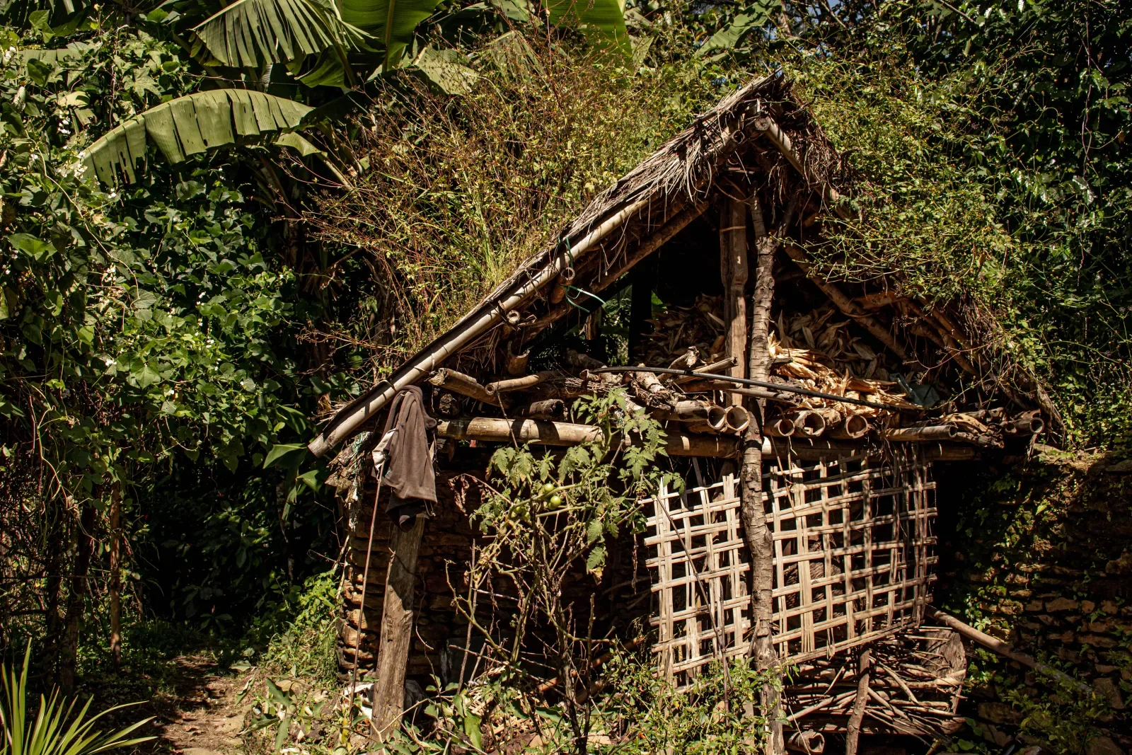
Community Resilience
Field image-based observation of settlement patterns, landscape constraints, and local vulnerability contexts.
Helped ground strategic resilience conversations in real settlement conditions.
Outreach
Curated field visuals to support public-facing communication on geohazard and resilience themes.
Improved accessibility of scientific risk narratives for wider non-technical audiences.